Global historical coverage
CAMS EAC4 atmospheric-composition reanalysis for project locations around the world.
Turn CAMS EAC4 historical atmospheric data into exact-site, analysis-ready outputs without building manual ADS requests or processing NetCDF files by hand.
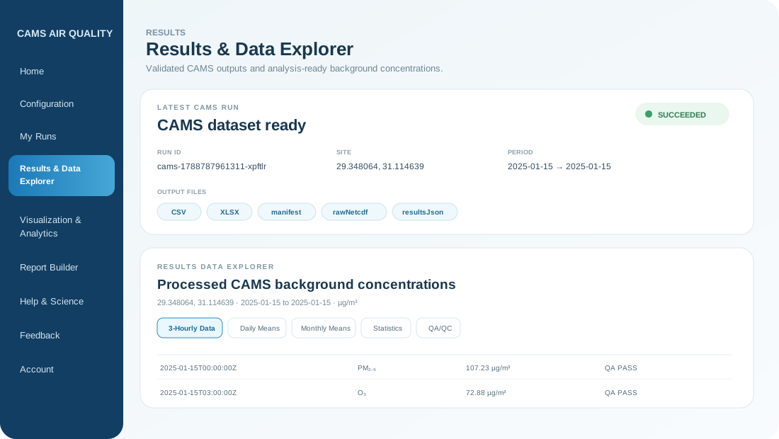
The platform handles the technical retrieval and processing steps while keeping the scientific context, request traceability and QA/QC visible.
CAMS EAC4 atmospheric-composition reanalysis for project locations around the world.
Use the surrounding 0.75° grid and bilinear interpolation for the requested coordinates.
CSV, Excel, results, request traceability and validated QA/QC outputs from one workflow.
Move from background-data retrieval to statistics, analytics and Word reporting in the same platform.
CAMS Air Quality connects the complete workflow instead of stopping at a raw-data download.
Explore the scientific workflow →Coordinates, period, pollutants and source-grid preview.
ADS retrieval, interpolation, unit conversion and QA/QC.
3-hourly data, daily and monthly means, statistics and downloads.
Temporal patterns, distributions and pollutant-specific visual analysis.
Company branding, project details, tables, figures and editable DOCX output.
Enter latitude and longitude or select the project point from the interactive map.
Set the historical period and select the pollutants available under the current plan.
The cloud workflow retrieves CAMS data, interpolates the exact site, converts units and performs QA/QC.
Review temporal statistics and analytics, then download data products or create an editable Word report.
Public paid checkout is intentionally disabled during Closed Beta. Pro access is assigned administratively while the platform is being validated with early users.
CAMS EAC4 is modelled atmospheric reanalysis data. The platform prepares it for regional background assessment and contextual analysis; it does not replace regulatory field measurements where direct monitoring is required.
Method & references →Choose your location, period and available pollutants, then let the platform handle the processing workflow.